
Map of Tenerife: Where to Go and What to See
Map of Tenerife
Tenerife is the largest of the Canary Islands, roughly triangular, with El Teide at its centre. In simple terms: the south is sunny and dry with the main beach resorts, the north is greener and cooler with the older towns, the west has the big cliffs, and the two ends (Anaga in the north-east, Teno in the north-west) are rugged old mountains. The map below shows the emblematic places, and each marker links to a guide or activity.
How Tenerife is laid out
The south. Dry, sunny and warm almost all year. This is where most visitors stay: Costa Adeje, Playa de las Américas and Los Cristianos, plus the airport Tenerife South (TFS). It is also where the big attractions cluster, so it is the most convenient base for a first trip. Browse everything in our Tenerife activities listing.
The north. Greener, cooler and more traditional, with banana plantations, old towns and a wetter climate. Puerto de la Cruz is the main resort, and Tenerife North airport (TFN) is here. The north is where you go for culture and scenery rather than guaranteed beach weather.
The centre. El Teide National Park, a high volcanic landscape that sits above the clouds. It is reachable from both coasts and is the single most visited place on the island.
The west. The cliffs of Los Gigantes and the village of Masca, dramatic and good for boat trips and walking.
The far ends. The Anaga mountains in the north-east and the Teno massif in the north-west are the oldest parts of the island, with laurel forest, deep valleys and small hamlets.
Emblematic places to visit
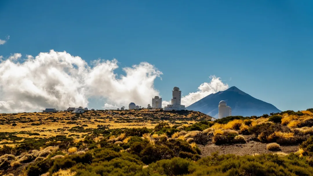
El Teide. Spain's highest peak at 3,715 metres, in the centre of the island. A cable car runs most of the way up. The clearest skies in Europe make it a top spot for stargazing too.
Los Gigantes. Sheer cliffs on the west coast that drop up to 600 metres into the sea, best seen from the water on a boat trip.
Masca. A tiny village high in the Teno mountains, reached by a winding road, with a famous (and demanding) walking gorge down to the coast.
La Laguna. The island's old capital, San Cristóbal de La Laguna, a UNESCO World Heritage town of colourful streets and historic buildings in the north.
Anaga. The ancient mountains of the north-east, with laurel forest, ridge walks and quiet beaches. A nature highlight.
Garachico. A pretty north-coast town with natural volcanic rock pools you can swim in, built on the lava from a 1706 eruption.
Icod de los Vinos. A north-coast town famous for the Drago Milenario, the largest dragon tree in the world.
Candelaria. A seafront town with the basilica of the island's patron and the bronze statues of the Guanche kings.
The theme parks. Siam Park, the big water park in the south, and Loro Parque in the north, two of the most popular paid attractions on the island.
Santa Cruz. The capital, on the east coast, good for shopping, museums and the carnival.
El Médano. A laid-back town on the south-east coast, known for wind, kitesurfing and long natural beaches.
Getting around and distances
Tenerife is small enough to cross in about an hour and a half. The two motorways, the TF-1 (south) and the TF-5 (north), run along the coasts and meet near Santa Cruz. Rough drive times from the southern resorts:
- South resorts to El Teide: about 1 hour
- South to Los Gigantes: about 40 minutes
- South to Santa Cruz / La Laguna: about 50 minutes
- South to the north coast (Puerto de la Cruz, Icod, Garachico): about 1 hour to 1 hour 15
A hire car gives you the most freedom for the inland and northern spots. Many of the coastal attractions are also reachable by guided tour with hotel pickup.
Tenerife map questions
Where is Tenerife? Tenerife is the largest of the Canary Islands, in the Atlantic Ocean off the north-west coast of Africa. It belongs to Spain.
Where is El Teide on the map? Right in the centre of the island. You can reach it from both the north and the south in about an hour.
Is it better to stay in the north or south of Tenerife? The south is sunnier and drier, with most of the resorts and attractions, so it suits a first beach-and-sights trip. The north is greener, cooler and more traditional, better for scenery and culture. See our guide on choosing between north and south.
How big is Tenerife? About 2,034 square kilometres, and roughly 80 km across at its widest. You can drive from one end to the other in around an hour and a half.